
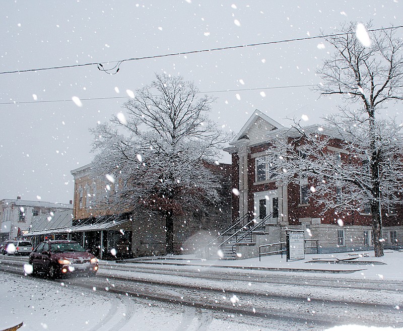
A storm system is bringing Missouri a round of wintry weather to usher in the new year.
Snow has overspread the eastern half of Missouri and will continue into west-central and southwest Illinois through the afternoon.
The National Weather Service reports any lull in the precipitation or decrease in its intensity this afternoon is likely to pick up again for the evening and early overnight hours. The event could wrap up as freezing drizzle after midnight. Up to three inches of snowfall is expected with somewhat higher amounts possible across central and northeast Missouri.
For Mid-Missouri, the NWS also advises:
...WINTER WEATHER ADVISORY REMAINS IN EFFECT UNTIL 6 AM CST TUESDAY...
- TIMING...THE FIRST ROUND OF SNOW WILL MOVE ACROSS THE AREA THIS MORNING...WITH ADDITIONAL SNOW OCCURRING THIS AFTERNOON AND TONIGHT.
- ACCUMULATIONS...2 TO 4 INCHES OF ACCUMULATION IS EXPECTED.
- WINDS...WINDS WILL BE LIGHT TODAY...THEN BECOME NORTH 10 TO 15 MPH TONIGHT.
- IMPACTS...UNTREATED ROADS...PARKING LOTS...AND SIDEWALKS WILL BECOME VERY SLIPPERY.
PRECAUTIONARY/PREPAREDNESS ACTIONS...
A WINTER WEATHER ADVISORY IS ISSUED FOR A VARIETY OF WINTER WEATHER CONDITIONS...SUCH AS SNOW...BLOWING SNOW...SLEET...OR FREEZING DRIZZLE AND RAIN. IT ONLY TAKES A SMALL AMOUNT OF WINTRY PRECIPITATION TO MAKE ROADS...BRIDGES...SIDEWALKS...AND PARKING LOTS ICY AND DANGEROUS. IT IS OFTEN DIFFICULT TO TELL WHEN ICE BEGINS TO FORM...SO DO NOT BE CAUGHT OFF GUARD.
Additional Resources:
Local forecast, radar, advisories