
As local and state officials wait for the final 2020 census tally in March, U.S. Census Bureau estimates indicate Missouri grew at a very low rate in the past 10 years.
The state's estimated resident population for July 1, 2020, shows Missouri with a population of 6,151,548 - a 2.7 percent increase over the state's Census count of 5,988,927 in 2010.
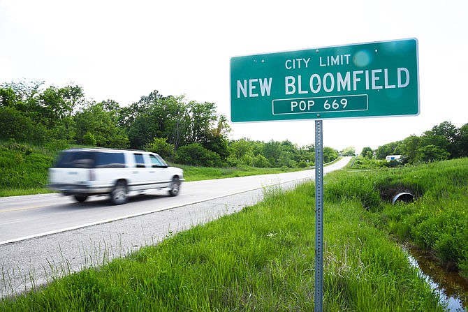
The estimates are based on births, deaths, construction permits and other records. People were counted where they were living April 1.
Although the state has seen population growth, the census figures show it has not been substantial. After exceeding 6 million residents in 2011, Missouri's population didn't reach 6.1 million until 2017.
The U.S. Constitution requires the nation's census to be taken every 10 years so each state's representation in the U.S. House of Representatives can be determined. Missouri lost a congressional district after the 2010 census, going from nine to eight.
Those same numbers now are used to redraw the state's House and Senate lines and, eventually, even to redraw cities' internal ward lines.
Ater the final census numbers come out in March, the Missouri Constitution requires state lawmakers to redraw congressional district boundaries, "composed of contiguous territory as compact and as nearly equal in population as may be." It creates two commissions to draw the legislative district lines.
For the House and Senate reapportionment commissions, the two political parties "casting the highest vote for governor at the last preceding election" meet to nominate possible reapportionment commission members.
Within 30 days of receiving each list, the governor chooses half the people nominated from each party's list.
Once chosen, each commission has six months to complete the work.
If either chamber's reapportionment committee fails to agree on a redistricting plan within six months, the job is turned over to six state appeals court judges appointed by the state Supreme Court. The judges must file their report with the secretary of state within 90 days.
Court battles took place over the new outlines of congressional districts and state legislative districts following the 2010 census and weren't resolved until the Missouri Supreme Court ruled in 2012 the maps would remain as drawn by the appointed groups.
Census results also are used to redraw municipal government ward boundaries.
In nearby Jefferson City, that duty is left to the City Council.
The charter says: "Ward boundaries shall be established by ordinance following each decennial census. Wards shall comprise compact and contiguous territory and shall contain, as nearly as possible, an equal number of inhabitants."
Jefferson City had to redraw its ward and precinct lines to match the population changes the 2010 census showed since the 2000 census. In that time, the city's official population grew by 3,443, with the 4th Ward showing the most growth. As a result, the 4th Ward shrank in size.